Category Archives: Planning Permission

Response to City of Edinburgh Council Meadowbank Consultation

  1. Please accept these comments from Living Streets Edinburgh in response to the Council’s Meadowbank consultation.
  2. Living Streets Edinburgh aims to promote walking as a safe, enjoyable and easy way of getting around Edinburgh and to achieve this we want to see:
    • Walking given the top priority over other forms of travel in all Council transport and planning policies
    • 
Reduction in the volume of motorised traffic and its impact on people using the street
    • 
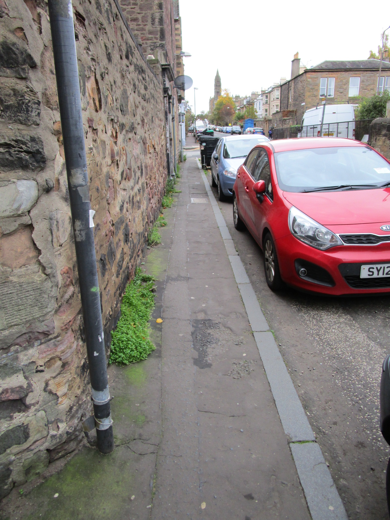
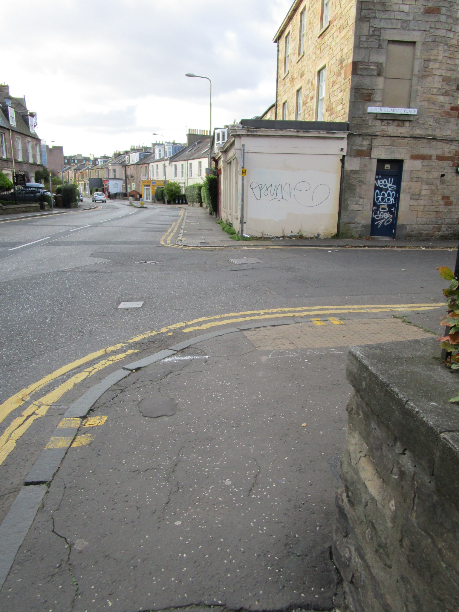
Better designed and maintained pavements, road crossings and other pedestrian facilities
    • 
More effective and joined-up monitoring and inspection of the walking environment by Edinburgh Council
    • 
Planning policy which encourages dense, sustainable housing over car-dominated development
    • 
More effective implementation of pro-walking policies ‘on the ground’.
  3. 
Given its role in Meadowbank, the Council is in the position of being able to set an example by planning and implementing development of the site to reflect these objectives in accordance with national and local planning policy.
  4. Scottish Planning Policy (SPP) has clear statements on reducing reliance on private cars and prioritising sustainable and active travel choices (para 46) and promoting opportunities for travel by more sustainable modes in the following order of priority: walking, cycling, public transport, cars (para 273).
  5. The aims of the Local Development Plan (LDP) include:
    • 
help ensure that the citizens of Edinburgh can get around easily by    sustainable transport modes to access jobs and services
    • look after and improve our environment for future generations in a  changing climate.
  6. The Transport Section of the LDP states that the relationship between land uses and how people move between them is fundamental in promoting sustainable development and its objectives include:
    • to minimise the distances people need to travel
      to promote and prioritise travel by sustainable means i.e. 
walking, cycling and by public transport
    • to minimise the detrimental effects of traffic and parking on communities and the environment.
  7. 
The Council’s Design Guide states that greater emphasis has now  been placed on creating places that support the development of a compact, sustainable city. There is support for active travel and public transport, revised parking controls in new developments and encouragement for high density to make public transport more viable.
  8. The Council has recently resolved to consult on a prospectus – ‘Connecting Our City, Transforming Our Places’. The prospectus builds on existing national and local policy and states, inter alia: 
‘By 2040, Edinburgh’s population will be close to 600,000, an increase of 100,000, and the city-region is also growing, accounting for a quarter of the Scottish population. This growth and the potential strain on the transport network and city spaces needs to be managed to improve access to public transport, increase journeys on foot and by bike, and prevent unsustainable increases in car travel. 
We must join cities like Copenhagen, Oslo, Barcelona and other leading cities in reshaping how our city works and become synonymous with urban innovation if we are to meet the economic, social and environmental challenges we face.’
  9. Within this context it is clear that there is both a requirement and a commitment by the Council to make a break from the traditional car based approach to development and put people first. Meadowbank is an ideal location for this approach to be put into practice.
  10. 
The Transport Assessment submitted with the application for planning permission in principle clearly identified the problems that already exist with the surrounding road network/traffic management infrastructure and the unacceptable impact that further development would have.
  11. A radical approach is therefore justified which should be based on the following:
    • Taking a starting point that the development will be car free (as allowed for by Policy TRA2 in the LDP) apart from provision required for disabled residents/visitors and essential servicing.
    • 
Create an attractive and safe environment for pedestrians and cyclists within the new development with links to the surrounding active travel network.
    • In association with the above, identify and implement improvements to the off site active travel network. This should include converting the now redundant rail line to Powder Hall to create a high quality of walk/cycleway to Easter Road, Leith Walk, the wider North Edinburgh Path Network and off road routes to Portobello and Leith Links.
    • 
The Abbeyhill loop line should be included within the active travel network and the rail solum protected to facilitate potential future return to rail use to alleviate congestion at the east end of Waverley Station.
    • 
The area enjoys a good level of bus services, which should be enhanced and made an even more attractive proposition.
    • 
Use the project as an opportunity to enhance off-site management and secure improvements to the surrounding road network to improve air quality and create a more attractive environment for active travel.
    • 
Promote the development as car free, make it clear that parking permits will not be granted for adjoining streets and introduce incentives for active travel and public transport.
  12. 
There is a real opportunity in Meadowbank and other sites within its control for the Council to take a lead and create exemplars for urban living that reflect Edinburgh’s position as a major European city.
  13. 
Within this context Living Streets Edinburgh would be extremely happy to work with the Council and others to ensure that Meadowbank gets a development that we can all be proud of.
  14. 
When progress on Meadowbank next comes before the Council 
we respectfully request that this submission be reported in full without editing or précis.

LSEG 6 September 2018

The document is available as here as a PDF file here

LSE Objection to multiple Lower Gilmore Place Planning Apps

Dear CEC

Regarding panning apps 17/04462/CON, 17/04235/PPP and 17/04234/FUL (Lower Gilmore Place)

We object to this development on the following grounds.

We are generally supportive of the development because it has a low level of parking provision. As Edinburgh continues to grow, we need to curtail and discourage more car travel from the city. Housing in dense brownfield sites like this this are the most sustainable kind of development, not only for the environment and transport purposes (beaches it is so easy to walk, cycle or go by bus) but also for the neighbourhood economy – local shops, community facilities etc get more customers  This would support council policies which aim to promote car-free or car-lite developments: http://www.livingstreetsedinburgh.org.uk/common-issues/policies-of-city-of-edinburgh-council-promoting-car-freecar-light-developments/

However, the public realm in the immediate area is very deficient for people walking, despite this being a key North/South walking route. We would therefore like to see significant improvement in the nearby public realm funded from the developer. These improvements are (in approximate order):

  • Widening the pavement on Leamington Road, and to de-clutter it (almost all signage should come off it). This very important walking route between the Haymarket and Bruntsfield area is absolutely atrocious; the pavement should be at least 2 metres wide (preferably 2.5 metres) to conform to the Council’s own Street Design Guidance  http://www.edinburgh.gov.uk/info/20089/roads_and_pavements/906/edinburgh_street_design . Unfortunately, it is hard to see how this can be achieved without removing the existing residents’ parking, which will clearly be unpopular with those that currently park there. Could alternative (off street) spaces be provided for them in the new development ?


  • Installing a ‘continuous pavement’ across Leamington Road at the junction with Gilmore Place. There is not even a ‘dropped kerb’ there at present and as a result Gilmore Place is a very difficult place for disabled people to move along. It would be criminal to miss this opportunity to address this (arguably even a breach of the Equality Act?)


  • Considering stopping up Leamington Road at the Gilmore Place junction, permitting access only by bicycle and on foot. (Vehicle access to be through the eastern end of Lower Gilmore Place)
  • Improving public realm on the north and east sides of Lower Gilmore Place. This might involve removing the canal-side wall to open up views and access to the canal towpath and decluttering the northern pavement of signage (which should have been done when the pavement was recently widened).


  • A continuous pavement should be installed across Lower Gilmore Place at the junction with Leamington Road, providing a flat surface for people walking along Leamington Road to and from the lift bridge.

yours sincerely

David Hunter

for Living Streets Edinburgh Group

Campaigners Urge Car Clamp-Down At Old Boroughmuir School Site

Walking campaigners have reacted angrily to news that City Council officials are recommending that councillors approve 95 car parking spaces for the residential development of the Boroughmuir School site in Bruntsfield. Councillors at the Council’s 22nd March Development Management Sub-Committee meeting are being advised by officials to approve the development, but Living Streets Edinburgh Group [1] – which officially objected to the transport elements of the proposal [2] – has written [3] to the Councillors urging them to drastically cut parking provision for a site which they say is extremely well sited for alternatives to the car. The Group’s Convenor, David Spaven said:

‘…a development with 95 parking spaces cannot be consistent with the council’s transport and environmental objectives. The location is extremely well-sited for travel by bus (eight frequent, regular services within three minutes’ walk), bicycle and on foot. The sustainability of the local Bruntsfield area will be enhanced by a car-free development which is actively aimed at people attracted to a car-free lifestyle.

‘The Council cannot on the one hand endorse a ‘business as usual’ development like this, and on the other hand claim that it is pursuing enlightened transport and environmental policies which minimise the impact of the car and make the public realm a much better place for walkers, cyclists and people using public transport. If a progressive approach to parking cannot be adopted at the Boroughmuir site, where alternatives to the car are myriad, what chance is there that a visionary approach will be taken anywhere else in the city?’

With Council Elections looming, Living Streets is urging candidates to back its ‘Manifesto for Walking’ [4] which calls for (i) transformed street management across the city, reducing clutter on pavements, (ii) much more investment in walking, including wider pavements and better road crossings, (iii) a comprehensive traffic plan for the city centre, to make the public realm safer and more pleasant for people on foot, and (iv) the pedestrianisation of George Street, to put Edinburgh on a par with competing cities across Europe.

NOTES FOR EDITORS:

[1] Living Streets Edinburgh Group is the local voluntary arm of Living Streets, the national charity which campaigns for better conditions for ‘everyday walking’

[2} Living Streets official objection is at http://www.livingstreetsedinburgh.org.uk/2016/10/23/objection-to-redevelopment-of-boroughmuir-high-school-excessive-car-parking/

[3] Text of 16 March 2017 email to Councillors on the Development Management Sub-Committee:

Dear Councillors

With reference to the Development Management Sub-Committee meeting next Wednesday, Living Streets Edinburgh Group is dismayed to hear that ‘Having considered the submitted supporting information, the council as roads authority has no objection to the proposal on road safety grounds’.

As we noted in our objection, a development with 95 parking spaces cannot be consistent with the council’s transport and environmental objectives. The location is extremely well-sited for travel by bus (eight frequent, regular services within three minutes’ walk), bicycle and on foot. The sustainability of the local Bruntsfield area will be enhanced by a car-free development which is actively aimed at people attracted to a car-free lifestyle. We also strongly opposed the suggestion that there should be 16 new on-street parking spaces on Viewforth in addition, for the same reason. An option could be to site a car-club facility on or near the site.

The Council cannot on the one hand endorse a ‘business as usual’ development like this, and on the other hand claim that it is pursuing enlightened transport and environmental policies which minimise the impact of the car and make the public realm a much better place for walkers, cyclists and people using public transport. If a progressive approach to parking cannot be adopted at the Boroughmuir site, where alternatives to the car are myriad, what chance is there that a visionary approach will be taken anywhere else in the city?

We urge you to reach a decision which better reflects the aims of Council transport and environmental policies. Our official objection is here: http://www.livingstreetsedinburgh.org.uk/2016/10/23/objection-to-redevelopment-of-boroughmuir-high-school-excessive-car-parking/

Regards

David Spaven
Convenor, Living Streets Edinburgh Group
[4] Living Streets ‘Manifesto for Walking’ is at http://www.livingstreetsedinburgh.org.uk/2016/12/21/living-streets-edinburgh-manifesto-for-walking/

Objection to redevelopment of Boroughmuir High School – excessive car parking

Living Streets Edinburgh has submitted an official objection to the redevelopment of Boroughmuir High School due to the planned excessive car parking (planning ref 16/04581/FUL).

The full plans can be viewed here – https://goo.gl/IJsiFB

boroughmuir-high-school-planWe object to the application on the grounds of excessive parking provision. The Transport Statement makes great play about how the proposed development supports the Council’s sustainable transport policies; however, we do not consider a development with 95 parking spaces to be consistent with the council’s transport and environmental objectives. The case made in the application comparing existing and projected traffic flows is spurious; obviously traffic generation will be totally different as it is no longer going to be a 1000+ pupil school. The application notes that it aims to achieve 68% of the permitted maximum; we propose on the contrary, that the development should be have the minimum permitted number of residents’ parking spaces (zero – i.e. a car-free development). Limited car parking for disabled people and visitors would be acceptable.

As the application notes, the site is extremely well-sited for travel by bus (eight frequent, regular services within three minutes’ walk), bicycle and on foot. The sustainability of the local Bruntsfield area will be enhanced by a car-free development which is actively aimed at people attracted to a car-free lifestyle. We strongly oppose the suggestion that there should be 16 new on-street parking spaces on Viewforth in addition, for the same reason. An option could be to site a car-club facility on or near the site.

The application incorrectly claims that the footways on Viewforth are at least 2m wide; in fact they are typically 1.8m on both sides (only wider at the Bruntsfield Place end and at one or two specific spots). The Council’s Street Design Guidance specifies the width for this kind of street as an “absolute minimum of 2m (only allowed in short sections), desirable minimum 2.5m or wider.” If the application were to be granted, the opportunity should therefore be taken to meet these standards in the vicinity of the development. Continuous pavements giving clear pedestrian priority (rather than dropped kerbs) should be provided on the Viewforth access points. The application also claims that there “no evidence of parked vehicles obstructing footway” (p8). This is patently not so and pavement parking is endemic at weekends and evenings owing to lack of TRO prohibitions. Again, if the application were to be granted, conditions should be attached to remedy this shortcoming.

Objection to Planning Application York Place / Elder st

Objection from Living Streets Edinburgh to Planning Application York Place / Elder st 15/04868/AMC

Elder-Street-GeneralThis objection is sent on behalf of Living Streets Edinburgh, a group that campaigns for improved conditions for pedestrians in the City.  We also work to ensure that the City Council follows its own policies and guidance with regard to pedestrians.

We object to this application on a number of grounds:

  1. It conflicts with the City Council’s Street Design Guidance, particularly with respect to footway widths.
  2. It worsens conditions for disabled pedestrians (and by extension for all pedestrians) by introducing steps where none exist currently, and by failing to properly protect pedestrian space and crossing in the shared space area. Therefore by accepting this application as it is the Council would fail to comply with the law (Equality Act 2010).
  3. It conflicts with the City Council’s Active Travel Action Plan by failing to provide comfortable, convenient and safe pedestrian routes.

The specifics of each of these points are as follows:

elder-street-narrow-pavements-2Pavement widths – Elder Street and York Pace are classed as a strategic retail / high streets in the Street Design Guidance and as such should desire to have a pavement width of 4 meters, with an absolute minimum of 2.5 meters.  The application fails to meet this in a number of locations:

  • Elder Street, at the junction with York Place, north side, adjacent to loading bay / car park entrance;
  • Elder Street at the far right, top side;
  • The footway on the south/west side of Elder St also appears to have been split with part level, part on steps. If this is indeed the case then it also effectively narrows the footway below standard.
  • Elder-Street-Cycle-Lane[Based on this application, we also have some concerns about the south side of York Place where a two way cycle lane appears to have been squeezed onto the pavement, however subsequent planning documents claim that the full pavement width has been retained, which we consider vital]

Equality Act and accessibility.  Introduction of steps on north / east side of Elder Street – this footway currently provides step free access from York Place (east) to the St James Centre.  There is no justification for placing new steps in this location.  Elder-Street-stepsThe step free route involves four separate road crossings rather than the current one, flagrantly disregarding the requirements of the Equality Act 2010 to improve (not worsen) conditions for disabled people.  No contrasting coloured strip is shown to indicate the edge of the “footway” and the start of the “roadway” in the shared space area; again a vital feature from an accessibility point of view.

Elder-Street-CrossingComfortable, convenient and safe pedestrian routes.  There should be a zebra crossing connecting Multrees Walk to the St James Centre.  This street will still have vehicles driving up and down it and crossing pedestrians (especially older and disabled people) need priority crossing in what is essentially is a pedestrian area.  The Street Design Guidance states that the Council will on such streets “Provide pedestrian crossing points every 50-100m, ideally associated with entrances to major buildings.”

The “footway” area in the shared space area should be protected with bollards to prevent the footway parking that takes there at present.  Again, this also has Equality Act implications; footway parking is one of the most significant mobility issues for visually impaired pedestrians.

Within these plans there are two staggered junctions crossing York Place and Elder Street.  Again both should be removed, as noted in the Street Design Guidance that states “Avoid staggered crossings”.  It currently takes up to 3 minutes just to cross 22 meters of York Place (Youtube video showing crossing time).  With the change in road layout with dedicated turning lanes it should be easy to remove the Elder street stagger as a minimum.  It is also unclear where cyclists on York Place are supposed to cross this junction.  Would they dismount and use the small pedestrian island?

Elder-street-Bike-RacksAt the main entrance to the St James Centre there appear to be 14 bike racks at 90 degrees to the footway.   If these bike racks are used the footway will be blocked – particularly difficult for older and disabled pedestrians, and the many who have prams or are carrying shopping.

The swept path analysis only shows busses traveling to / from the west end of York Place.  Nothing is shown from the east.  Busses currently traveling from Elder Street heading east bound have to dangerously overhang the pavement on the north side of York place to clear the existing pedestrian island.  No attempt has been made to remove this risk to pedestrians walking on the pavement.

York-Pace-Bus-Overhang

Available as a downloadable PDF – Objection from Living Streets Edinburgh to Planning Application York Place Elder St-2